

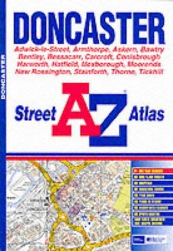

A-Z Doncaster Street Atlas by Anon
This atlas contains 47 pages of coloured street mapping that extends from central Doncaster to Skellow, Owston, Norton, Askern, Stainforth, Moorends, Thorne, Hatfield Woodhouse, Armthorpe, Branton, Finningley, Rossington, Bawtry, Harworth, Stainton, Clifton, Conisbrough, Swinton, Mexborough and Brodsworth, together with an inset of Barnburgh and Harlington. QUERY INDEX CONTENTS & NO. OF PAGES. There is also a 16 page index to streets.| SKU | Unavailable |
| ISBN 13 | |
| ISBN 10 | |
| Title | A-Z Doncaster Street Atlas |
| Author | Anon |
| Series | |
| Condition | Unavailable |
| Binding Type | |
| Publisher | |
| Year published | |
| Number of pages | |
| Cover note | Book picture is for illustrative purposes only, actual binding, cover or edition may vary. |
| Note | Unavailable |
View All Editions
Filter
Applied Filters (0)
Sort by:
Loading editions...