


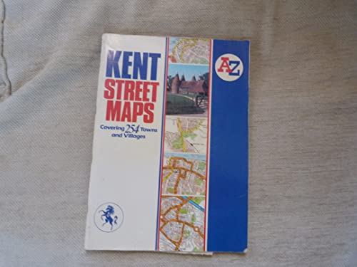

A-Z Kent Street Atlas by Geographers' A-Z Map Company
This large-format street atlas covers the towns and villages in Kent. A comprehensive index lists streets under individual town and village headings. Alterations to this edition include: pg 4 Ashford 8E-10E - new route of A2042 is now shown as open; and pg 5 1A-1D - Ash By-pass is shown as open; pg 15 - 2K-6J - Gillingham Northern Relief Road is now shown as under construction; pg 21 Dover 9C-10A new route of A20 is now shown as open; East Peckham pg 22 1C-3C Hale Street has been upgraded to A228; Folkestone pg 25 1J-3G - new route of A20 is now shown as open; Hamstreet pg 29 1A-3A - Hamstreet By-pass is now shown as open; Kemsley and Iwade pg 33 1C-5A - M2 to Iwade improvement is shown as under construction; Maidstone pg 38 3H-5H - new route of A229 is shown as open; Pembury pg 42 1D-4A - Northern By-pass is ungraded to A228; Rainham and district pg 45 9Q-11P - M2 to Iwade improvement is shown as under construction; Rochester and Strood pg 49 1J-4A - A289 Wainscott Northern By-pass is shown as under construction; and Sittingbourne pg 54 1B-2A - M2 to Iwade improvement is shown as under construction, and 4E Sittingbourne Road improvement is shown as open.| SKU | Unavailable |
| ISBN 13 | |
| ISBN 10 | |
| Title | A-Z Kent Street Atlas |
| Author | Geographers' A-Z Map Company |
| Series | |
| Condition | Unavailable |
| Binding Type | |
| Publisher | |
| Year published | |
| Number of pages | |
| Cover note | Book picture is for illustrative purposes only, actual binding, cover or edition may vary. |
| Note | Unavailable |
View All Editions
Filter
Applied Filters (0)
Sort by:
Loading editions...