


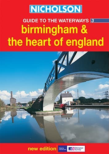

Birmingham and the Heart of England by Ordnance Survey
Newly researched. This guide features 4-colour Ordnance Survey mapping, with facilities and towpaths clearly shown. Comprehensive navigational notes. Newly restored/opened canals and rivers are included. Navigational notes include: • planning a cruise, • using a lock and bridges, • winding holes, • boatyards and local services. Also: • the history of each canal, • places of interest, • pubs and restaurants, • opportunities for walking and cycling. Practical spiral binding makes the guide easy-to-use. A flap around the foredge clearly identifies the guide and provides for better display in retail outlets. Rival publications cover one canal or canal-ring only. Nicholson guides have logical groupings of waterways: all recognised circular routes are contained within single editions. Waterways covered in this guide – Ashby Canal, Birmingham Canal Navigations, Birmingham & Fazeley Canal, Coventry Canal, Erewash Canal, Grand Union Canal, Oxford Canal, Staffordshire & Worcestershire Canal, Stratford-on-Avon Canal and Worcester & Birmingham Canal, Trent & Mersey Canal.| SKU | Unavailable |
| ISBN 13 | |
| ISBN 10 | |
| Title | Birmingham and the Heart of England |
| Author | Ordnance Survey |
| Series | |
| Condition | Unavailable |
| Binding Type | |
| Publisher | |
| Year published | |
| Number of pages | |
| Cover note | Book picture is for illustrative purposes only, actual binding, cover or edition may vary. |
| Note | Unavailable |
View All Editions
Filter
Applied Filters (0)
Sort by:
Loading editions...