


Collins Handy Road Atlas Europe by Collins Maps
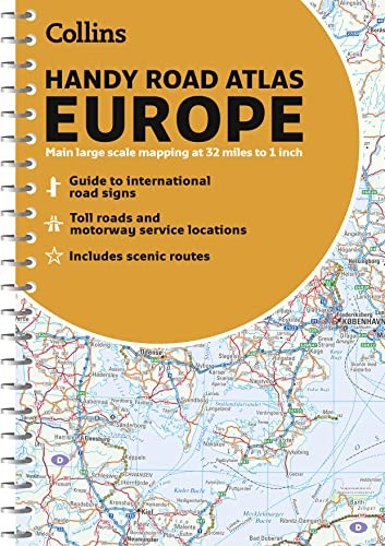
Handy A5 format road atlas of Europe with lie-flat spiral binding. Ideal format for both drivers and those travelling by public transport. Scenic routes are plotted on the maps. Scale: 1:2,000,000Handy A5 format road atlas of Europe at 34 miles to 1 inch. Euroroutes and motorways are easily distinguished on the mapping. The maps also show international road classifications, road distances in kilometres and land height is shown by attractive layer tints.Main Features- Route planning maps at 1:6,340,000 with political colouring- Country fact file- Distance map and chart- Information on international road signs- Main road maps at 1:2,174,000- Each page has a locator diagram to help you pinpoint where you are in relation to the rest of Europe- Full index to place names- Full updates including new motorways in Ireland, France and HungaryThe maps include: - scenic routes- Euro route numbersIdeal for motorists planning a journey in Europe and for use en route. It is also ideal for those travelling by public transport who would like a neat portable atlas to take with them.| SKU | Unavailable |
| ISBN 13 | |
| ISBN 10 | |
| Title | Collins Handy Road Atlas Europe |
| Author | Collins Maps |
| Series | |
| Condition | Unavailable |
| Binding Type | |
| Publisher | |
| Year published | |
| Number of pages | |
| Cover note | Book picture is for illustrative purposes only, actual binding, cover or edition may vary. |
| Note | Unavailable |
View All Editions
Filter
Applied Filters (0)
Sort by:
Loading editions...