

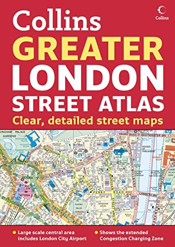

Greater London Street Atlas by Collins Uk
Scale: 1:10,000 Central area, 1:20,000 Main area, 1:63,360 Urban maps, 1:260,000 Route Planning maps. Incredibly detailed street level maps, with over 40 categories of information, covering 1660 square miles in and around London.| SKU | Unavailable |
| ISBN 13 | |
| ISBN 10 | |
| Title | Greater London Street Atlas |
| Author | Collins Uk |
| Series | |
| Condition | Unavailable |
| Binding Type | |
| Publisher | |
| Year published | |
| Number of pages | |
| Cover note | Book picture is for illustrative purposes only, actual binding, cover or edition may vary. |
| Note | Unavailable |
View All Editions
Filter
Applied Filters (0)
Sort by:
Loading editions...