


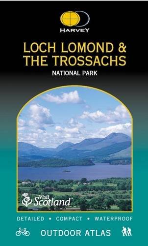

Loch Lomond and Trossachs National Park by Harvey Maps
Handy book printed on waterproof paper, cover also waterproof, spiral bound to lie flat in your hand. Large area (National Park) in one volume. Ideal for walking, cycling and planning. All the detail needed for sure navigation. Public footpaths and bridleways shown. Can be used with GPS. Useful information and important telephone numbers included. Layer colouring for easy identification of hills and valleys.| SKU | Unavailable |
| ISBN 13 | |
| ISBN 10 | |
| Title | Loch Lomond and Trossachs National Park |
| Author | Harvey Maps |
| Series | |
| Condition | Unavailable |
| Binding Type | |
| Publisher | |
| Year published | |
| Number of pages | |
| Cover note | Book picture is for illustrative purposes only, actual binding, cover or edition may vary. |
| Note | Unavailable |
View All Editions
Filter
Applied Filters (0)
Sort by:
Loading editions...