

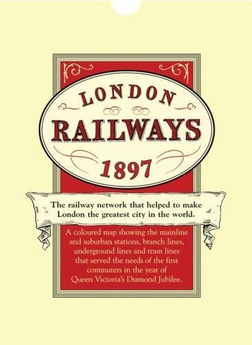
London's Railways Map 1897 by Edward Allhusen
Of all the great innovations of the nineteenth century it was the railways that contributed the most. In London new railway lines ran to the docks where ships were discharging previously unseen raw materials from an Empire that straddled the globe. By rail these goods could now be dispersed all over the country to factories and towns with rapidly increasing populations. London, the hub of the Empire, had become the world's greatest commercial centre and, for the first time, people were able to live in the healthier suburbs and travel into the city to work. The Victorians were passionate railway builders both underground and overground and all the outlying towns, long since devoured by the metropolis, were connected to the great terminus's by remarkable engineering feats that involved tunnels, cuttings, embankments, bridges and viaducts all of which were constructed by thousands of manual labourers. This map shows what they achieved and when they had finished London had the finest railway network in the world at a time when you could set your clock by a passing steam train.| SKU | Unavailable |
| ISBN 13 | |
| ISBN 10 | |
| Title | London's Railways Map 1897 |
| Author | Edward Allhusen |
| Series | |
| Condition | Unavailable |
| Binding Type | |
| Publisher | |
| Year published | |
| Number of pages | |
| Cover note | Book picture is for illustrative purposes only, actual binding, cover or edition may vary. |
| Note | Unavailable |
View All Editions
Filter
Applied Filters (0)
Sort by:
Loading editions...