Ordnance Survey West Yorkshire Street Atlas


Regular price
Checking stock...

Ordnance Survey West Yorkshire Street Atlas by
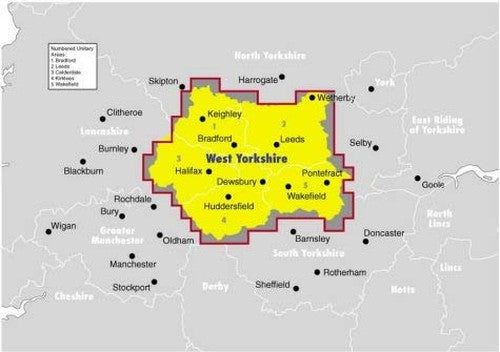
New edition of the West Yorkshire county street atlas which provides detailed colour mapping of West Yorkshire on a scale of 2.5 inches to 1 mile, and also includes information on places of major significance and a comprehensive index of street names and amenities. Originally published in 1996.| SKU | Unavailable |
| ISBN 13 | |
| ISBN 10 | |
| Title | Ordnance Survey West Yorkshire Street Atlas |
| Series | |
| Condition | Unavailable |
| Binding Type | |
| Publisher | |
| Year published | |
| Number of pages | |
| Cover note | Book picture is for illustrative purposes only, actual binding, cover or edition may vary. |
| Note | Unavailable |
View All Editions
Filter
Applied Filters (0)
Sort by:
Loading editions...