


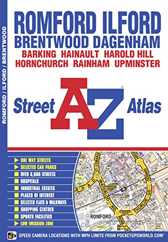

Romford & Ilford A-Z Street Atlas by Geographers' A-Z Map Co Ltd
This atlas of Romford, Ilford, Brentwood, Hornchurch, Dagenham and Rainham has 37 pages of coloured street mapping extending to: Woodford Bridge, Hainault, Chase Cross, Harold Park, Pilgrims Hatch, Shenfield, Hutton, Warley, Cranham, Upminster, Corbets Tey, Hornchurch Marshes, Creekmouth, Beckton (part), Barking, Manor Park and Redbridge.| SKU | Unavailable |
| ISBN 13 | |
| ISBN 10 | |
| Title | Romford & Ilford A-Z Street Atlas |
| Author | Geographers' A-Z Map Co Ltd |
| Series | |
| Condition | Unavailable |
| Binding Type | |
| Publisher | |
| Year published | |
| Number of pages | |
| Cover note | Book picture is for illustrative purposes only, actual binding, cover or edition may vary. |
| Note | Unavailable |
View All Editions
Filter
Applied Filters (0)
Sort by:
Loading editions...