Bradshaw's Railway Folded Map 1907


Summary
The feel-good place to buy books
Bradshaw's Railway Folded Map 1907 by George Bradshaw
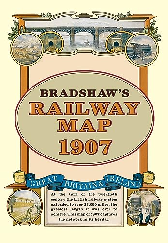
At the turn of the 20th century the rail network extended to over 23,000 miles. Very nearly the circumference of the world, this was the greatest length it was ever to achieve. Some urban routes had closed and later, hundreds of rural lines and stations succumbed to the Beeching axe. A facsimile of Bradshaw's classic map from 1907, this iconic piece of Victorian history shows the Great British and Irish rail network in its heyday before the decline commenced.
George Bradshaw (1801-1853) was an English cartographer, printer and publisher. He is most famous for developing a series of railway timetables and guides. The books became synonymous with its publisher so that, for Victorians and Edwardians alike, a railway timetable was 'a Bradshaw'. After his death Punch magazine said of Bradshaw's labours: 'seldom has the gigantic intellect of man been employed upon a work of greater utility.'
| SKU | Unavailable |
| ISBN 13 | 9781908402134 |
| ISBN 10 | 190840213X |
| Title | Bradshaw's Railway Folded Map 1907 |
| Author | George Bradshaw |
| Condition | Unavailable |
| Binding Type | Sheet map |
| Publisher | Bloomsbury Publishing PLC |
| Year published | 2011-11-21 |
| Number of pages | 0 |
| Cover note | Book picture is for illustrative purposes only, actual binding, cover or edition may vary. |
| Note | Unavailable |