
Bristol and Bath A-Z Street Atlas


Summary
The feel-good place to buy books
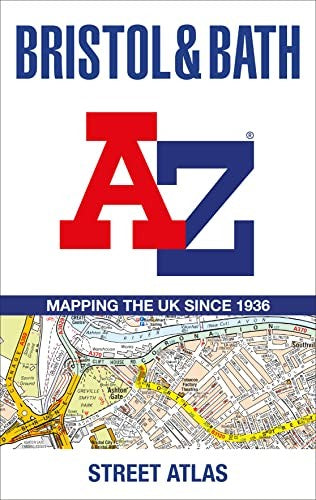
Bristol and Bath A-Z Street Atlas by A-Z Maps
Navigate your way around Bristol and Bath with this detailed and easy-to-use A-Z Street Atlas. Printed in full-colour, paperback format, this atlas contains 104 pages of continuous street mapping. More than 12,800 streets indexed. Large scale 6.25 inches to 1 mile map. Areas covered include: Avonmouth, Bradley Stoke, Filton, Keynsham, Kingswood, Mangotsfield, Portishead, Yate, Frampton Cotterell, Chipping Sodbury, Oldland, Swainswick, Batheaston, University of Bath, Combe Down, Bath Spa University, Saltford, Whitchurch, Bedminster, Long Ashton, Easton-in-Gordano, Cribbs Causeway. Also included are large scale city centre maps of both Bristol and Bath and a postcode map of the atlas area. Postcode districts, one-way streets and safety camera locations with their maximum speed are featured on the street mapping. A comprehensive index lists streets, selected flats, walkways and places of interest, place, area and station names. Additional healthcare (hospitals, walk-in centres and hospices) and transport connections are indexed as well.Britain’s leading street map publisher providing cartographic services, digital data products and paper mapping publications (including Street Atlases, Visitors Guides, Great Britain Road Atlases and The Adventure Atlas).
| SKU | Unavailable |
| ISBN 13 | 9780008560447 |
| ISBN 10 | 0008560447 |
| Title | Bristol and Bath A-Z Street Atlas |
| Author | A-Z Maps |
| Condition | Unavailable |
| Binding Type | Paperback |
| Publisher | HarperCollins Publishers |
| Year published | 2023-03-30 |
| Number of pages | 168 |
| Cover note | Book picture is for illustrative purposes only, actual binding, cover or edition may vary. |
| Note | Unavailable |