


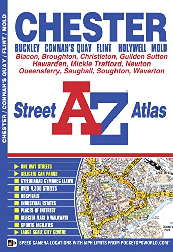
Chester Street Atlas by Geographers' A-Z Map Company
This atlas of Chester (Caer-Lleon), Connah's Quay, Buckley (Bwcle), Flint (Y Fflint), Holywell (Treffynnon) and Mold (Yr Wyddgrug) has 41 pages of coloured street mapping with continuous coverage that extends to: CarmelBritain’s leading street map publisher providing cartographic services, digital data products and paper mapping publications (including Street Atlases, Visitors Guides, Great Britain Road Atlases and The Adventure Atlas).
| SKU | Unavailable |
| ISBN 13 | 9781843487104 |
| ISBN 10 | 1843487101 |
| Title | Chester Street Atlas |
| Author | Geographers' A-Z Map Company |
| Series | A-Z Street Atlas |
| Condition | Unavailable |
| Binding Type | Paperback |
| Publisher | HarperCollins Publishers |
| Year published | 2015-03-20 |
| Number of pages | 64 |
| Cover note | Book picture is for illustrative purposes only, actual binding, cover or edition may vary. |
| Note | Unavailable |