
Collins Handy Road Atlas Scotland


Summary
The feel-good place to buy books
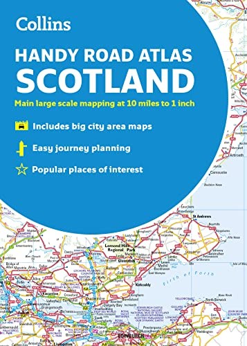
Collins Handy Road Atlas Scotland by Collins Maps
A handy road atlas to keep in your glove box. This easy-to-use, handy A5 sized road atlas is your ideal companion for travelling around Scotland. It has extremely clear, route planning maps of Scotland, detailed city plans of the major cities and towns and fits neatly into your glove box, briefcase or bag. Main features of this atlas include: Clear, attractive route planning maps of the whole of Scotland supported by comprehensive, fully indexed city centre street maps of Aberdeen, Dundee, Edinburgh, Glasgow, Inverness and Perth. Scale of main maps: 1:625,000 (9.9 miles to 1 inch). Also includes: Places of tourist interest are highlighted Attractive layer colouring showing land height Road network fully classified and colour coded Detailed street mapping of Edinburgh, including the Royal Mile with all attractions clearly marked, Leith and Holyrood Park Detailed street mapping of Glasgow, including the West End, city centre and M74 extension Detailed street mapping of Aberdeen, including the bypass Street maps, with indexes, of Dundee, Inverness and Perth city centres Handy distance calculator chart highlighting distances between the major towns Administrative areas map showing council areas Transport connections section listing all the airports and details of all vehicle ferries into and within Scotland Area of coverage: Covers the whole of Scotland and part of northern England, extending down to Kendal and Scarborough in the south.Explore the world through accurate and up-to-date mapping.
| SKU | Unavailable |
| ISBN 13 | 9780008276393 |
| ISBN 10 | 0008276390 |
| Title | Collins Handy Road Atlas Scotland |
| Author | Collins Maps |
| Condition | Unavailable |
| Binding Type | Paperback |
| Publisher | HarperCollins Publishers |
| Year published | 2018-06-14 |
| Number of pages | 72 |
| Cover note | Book picture is for illustrative purposes only, actual binding, cover or edition may vary. |
| Note | Unavailable |