
Collins Road Map of Britain 2027 (Folded Map)


Summary
The feel-good place to buy books
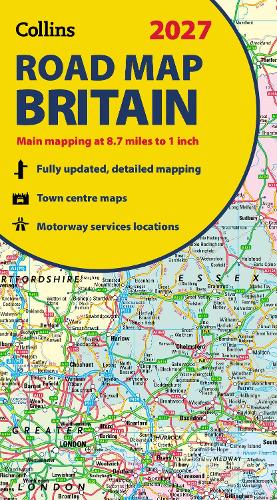
Collins Road Map of Britain 2027 (Folded Map) by Collins Maps
Explore Britain with easy-to-read mapping from Collins.Full-colour, double-sided road map of Great Britain at a scale of 8.7 miles to 1 inch. Northern England, Scotland and the Isle of Man are on one side with Southern England and Wales on the other.
With its easily identifiable counties and unitary authorities, this map is ideal for business users but it is also perfect for tourists for route planning.
Main features:
- Fully updated
- Counties and local council areas shown in colour
- Clear, detailed road network
- Town and city names, rivers and canals are clearly shown
- 16 city/town centre street plans
- Index to place names
- Mileage chart
- Car ferry routes
- Key in English, French and German
- Now includes dual Welsh / English names for Welsh locations, for example, Caerdydd / Cardiff
Explore the world through accurate and up-to-date mapping.
| SKU | Unavailable |
| ISBN 13 | 9780008779054 |
| ISBN 10 | 0008779058 |
| Title | Collins Road Map of Britain 2027 (Folded Map) |
| Author | Collins Maps |
| Series | Collins Road Atlas |
| Condition | Unavailable |
| Publisher | Collins |
| Year published | 2026-03-12 |
| Cover note | Book picture is for illustrative purposes only, actual binding, cover or edition may vary. |
| Note | Unavailable |