

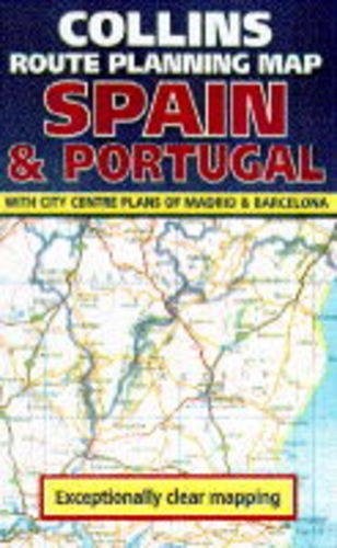
Collins Route Planning Map by Donald Ralston
This addition to the Route Planning series has a scale of 1:1,250,000 (approximately 20 miles to one inch). It includes coverage of the Balearic Islands. The new mapping has been designed specifically with the needs of route and journey planning by all means of transport in mind. It shows: fully classified roads, including toll motorways and E routes; railways, including high-speed lines; airports and ferries; main tourist sites; and beaches. Additional route-planning information includes a distance chart, airport/ferry/Motorail and tourist office details, and town plans of Madrid and Barcelona. The legend is in five languages, and there is a full index to place names on the reverse.| SKU | Unavailable |
| ISBN 13 | 9780004481715 |
| ISBN 10 | 0004481712 |
| Title | Collins Route Planning Map |
| Author | Donald Ralston |
| Series | Route Planning |
| Condition | Unavailable |
| Publisher | HarperCollins Publishers |
| Year published | 1995-04-06 |
| Cover note | Book picture is for illustrative purposes only, actual binding, cover or edition may vary. |
| Note | Unavailable |