

Collins USA Road Map by
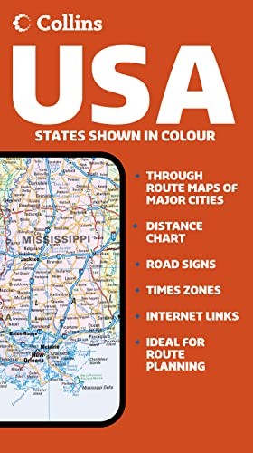
New politically coloured road map of all of the USA. The ideal map for planning and route-finding. Scale 1:5 000 000 (1 cm to 50 kms/1 inch to 80 miles) MAIN FEATURES Detailed route planning map with classified road network featuring individual states depicted in attractive political colouring. AREA OF COVERAGE All of USA extending from the Atlantic coast to the Pacific coast and from the Canadian border in the north to Mexico and the Caribbean in the south. Includes inset maps of Alaska, Hawaii and Puerto Rico. INCLUDES Useful features include detailed city maps of New York, Washington, Boston, San Francisco, Los Angeles, New Orleans, Seattle, Miami, Denver, Las Vegas and Chicago, and distance chart. • Comprehensive place name index to cities and towns on reverse of sheet • Driving information, time zones and internet links to further information complete the content of the map sheet. WHO THE PRODUCT IS AIMED AT The ideal map for the traveller for both planning and using on a trip. Also useful for home and business reference. OTHER PRODUCTS IN THE SERIES 2006 Map of Europe 2006 Map of France 2006 Map of Spain & Portugal 2006 Map of Britain 2006 Map of Scotland 2006 Map of Ireland| SKU | Unavailable |
| ISBN 13 | 9780007206803 |
| ISBN 10 | 0007206801 |
| Title | Collins USA Road Map |
| Condition | Unavailable |
| Binding Type | Sheet map, folded |
| Publisher | HarperCollins Publishers |
| Year published | 2005-10-03 |
| Cover note | Book picture is for illustrative purposes only, actual binding, cover or edition may vary. |
| Note | Unavailable |