
The Complete Road Atlas of Ireland


Summary
The feel-good place to buy books
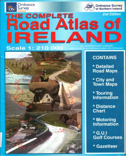
The Complete Road Atlas of Ireland by Ordnance Survey Ireland
This road atlas is a joint publication between Ordnance Survey of Northern Ireland and Ordnance Survey of Ireland. The main body of the atlas contains 70 pages derived from the 1:210,000 scale Holiday Map Series with coloured street maps of 21 of the major towns and ferry ports. It includes a gazetteer to assist in the rapid location of cities, towns and villages, each with a page and grid reference. Designed especially for the motorist and spiral bound for easy use, this atlas includes other useful information such as full colour illustrations of road signs, a route planning map, distance tables, conversion tables, emergency routes, a golf course location guide and motoring organisations' addresses and telephone numbers.| SKU | Unavailable |
| ISBN 13 | 9781901496871 |
| ISBN 10 | 1901496872 |
| Title | The Complete Road Atlas of Ireland |
| Author | Ordnance Survey Ireland |
| Condition | Unavailable |
| Binding Type | Paperback |
| Publisher | Ordnance Survey |
| Year published | 2001-04-01 |
| Number of pages | 124 |
| Cover note | Book picture is for illustrative purposes only, actual binding, cover or edition may vary. |
| Note | Unavailable |