


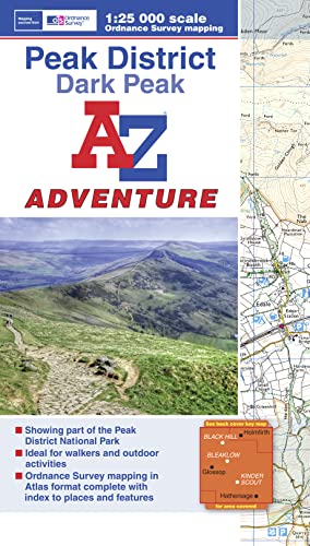
Dark Peak Adventure Atlas by Geographers' A-Z Map Company
The A-Z Adventure series features the accuracy and quality of OS Explorer mapping in a convenient book, complete with index. The A-Z Adventure series is an innovative concept that utilises Ordnance Survey Explorer mapping in a book, therefore eliminating the need to fold and re-fold a large sheet map to the desired area. OS Explorer is Ordnance Survey's most detailed mapping at a scale of 1:25 000, showing public rights of way, open access land, national parks, tourist Information, car parks, public houses and camping and caravan sites. Unlike the original OS sheets, this A-Z Adventure Atlas includes a comprehensive index to towns, villages, hamlets and locations, natural features, nature reserves, car parks and youth hostels, making it easy to find the required location quickly. Each index entry has a page reference and a six figure National Grid Reference. At a book size of 240mm x 134mm it is the same size as a standard OS Explorer map when closed. This A-Z Adventure Atlas of the Peak District Dark Peak features 50 pages of continuous Ordnance Survey mapping covering: •Peak District National Park (northern part) •Kinder Scout •Hope Valley •Hathersage •Castleton •Snake Pass •Derwent Valley This A-Z Adventure Atlas has the accuracy and quality of OS Explorer mapping indexed within a book, making it the perfect companion for walkers, off-road cyclists, horse riders and anyone wishing to explore the great outdoors. Also available: A-Z Adventure Atlas of the Peak District, White Peak.Britain’s leading street map publisher providing cartographic services, digital data products and paper mapping publications (including Street Atlases, Visitors Guides, Great Britain Road Atlases and The Adventure Atlas).
| SKU | Unavailable |
| ISBN 13 | 9781843488712 |
| ISBN 10 | 184348871X |
| Title | Dark Peak Adventure Atlas |
| Author | Geographers A-Z Map Company |
| Series | A-Z Adventure Atlas |
| Condition | Unavailable |
| Binding Type | Paperback |
| Publisher | HarperCollins Publishers |
| Year published | 2015-01-20 |
| Number of pages | 60 |
| Cover note | Book picture is for illustrative purposes only, actual binding, cover or edition may vary. |
| Note | Unavailable |