Discovering London Illustrated Map


Summary
The feel-good place to buy books
Discovering London Illustrated Map by Dominic Beddow
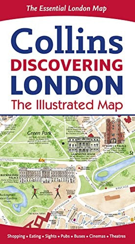
A new edition of London s most original map This hand-watercolored map contains individual paintings of all the main sites and landmarks, shop-by-shop street maps, theaters, and cinemas, comprehensive travel information, and anindex. It is a street by street detailed map of Central London at a scale of 1:8,250 (7.5 inches to 1 mile), extending from Regents Park in the North to Battersea in the South and from Kensington in the West to Tower Bridge in the East. There are shop-by-shop street maps for Oxford Street, Bond Street, Covent Garden, Portobello Road, King s Road, Brompton Cross, Exmouth Market, Beauchamp Place, St. Christopher s Place and South Molton Street, Knightsbridge, Jermyn Street, and Kensington, and it also includes railway stations, bus routes, a London underground map, taxi stands, and car parks. It also designates places to eat, internet cafes, and good places for a picnic; features an inset map of the City of London; has a comprehensive index; and offers historical and contemporary anecdotes.Explore the world through accurate and up-to-date mapping.
| SKU | Unavailable |
| ISBN 13 | 9780008104559 |
| ISBN 10 | 0008104557 |
| Title | Discovering London Illustrated Map |
| Author | Dominic Beddow |
| Condition | Unavailable |
| Binding Type | Sheet map, folded |
| Publisher | HarperCollins Publishers |
| Year published | 2015-02-12 |
| Number of pages | 192 |
| Cover note | Book picture is for illustrative purposes only, actual binding, cover or edition may vary. |
| Note | Unavailable |