


-
 Ben Nevis and Fort William, The Mamores and The Grey Corries
-
 Dartmoor
-
 Snowdon and Conwy Valley
-
 Isle of Wight
-
 Long Mynd and Wenlock Edge, Church Stretton and Craven Arms
-
 North Pennines
-
 Wye Valley and Forest of Dean
-
 Forest of Bowland and Ribblesdale
-
 Malvern Hills and Bredon Hill
-
 Holy Island and Bamburgh
-
 Cadair Idris and Bala Lake/Llyn Tegid
-
 South Pembrokeshire
-
 Glen Coe and Glen Etive, Ballachulish and Kinlochleven
-
 Howgill Fells and Upper Eden Valley
-
 Bodmin Moor
-
 Purbeck and South Dorset
-
 Isles of Scilly
-
 Cairn Gorm and Ben Macdhui
-
 Inverness, Loch Ness and Culloden
-
 The Trossachs
-
 Harlech, Porthmadog and Bala
-
 Guildford and Farnham
-
 The Cotswolds
-
 The Cheviot Hills
-
 Abingdon, Wantage and Vale of White Horse
-
 Yorkshire Dales
-
 Loch Morar and Mallaig
-
 Cheddar Gorge and Mendip Hills West
-
 Exmoor
-
 Redruth and St Agnes
-
 Dorking, Box Hill and Reigate
-
 Wolverhampton and Dudley
-
 Lleyn Peninsula West - Pwllheli, Abersoch and Aberdaron


| SKU | Unavailable |
| ISBN 13 | 9780319236567 |
| ISBN 10 | 0319236560 |
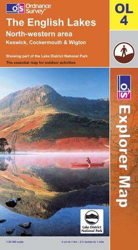
| Title | The English Lakes |
| Author | Ordnance Survey |
| Series | Explorer Maps |
| Condition | Unavailable |
| Binding Type | Sheet map, folded |
| Publisher | Ordnance Survey |
| Year published | 2005-05-28 |
| Cover note | Book picture is for illustrative purposes only, actual binding, cover or edition may vary. |
| Note | Unavailable |