Hadrian's Wall Path Map Booklet


Summary
The feel-good place to buy books
Hadrian's Wall Path Map Booklet by Mark Richards
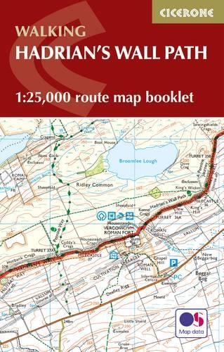
All the mapping you need to walk the 84 mile (135km) Hadrian's Wall Path from Bowness-on-Solway in Cumbria to Wallsend, Newcastle. This booklet of Ordnance Survey 1:25,000 Explorer maps has been designed for convenient use on the trail. It shows the full and up-to-date line of the Hadrian's Wall Path, along with the relevant extract from the OS Explorer map legend. It can be used when walking the trail west-east or east-west, and includes an extension to the east coast at South Shields. It is conveniently sized for slipping into a jacket pocket or top of a rucksack. This booklet is included with the Cicerone guidebook to Hadrian's Wall Path National Trail.
In 1980 Mark Richards began his three-part guide to the Peak District for Cicerone Press, and in 1987, with Chris Wright, wrote a guide to walking around the former county of Westmorland. He now lives in Cumbria and, after 14 years' dedicated research, has completed his series of Lakeland Fellranger guides covering the entire region. Mark lives close to Hadrian's Wall, enabling him to renew a fascination kindled when he first prepared a guide to walking the Wall in 1991.
| SKU | Unavailable |
| ISBN 13 | 9781852848934 |
| ISBN 10 | 1852848936 |
| Title | Hadrian's Wall Path Map Booklet |
| Author | Mark Richards |
| Condition | Unavailable |
| Binding Type | Paperback |
| Publisher | Cicerone Press |
| Year published | 2021-12-07 |
| Number of pages | 56 |
| Cover note | Book picture is for illustrative purposes only, actual binding, cover or edition may vary. |
| Note | Unavailable |