

Handy Road Atlas by Unknown Author
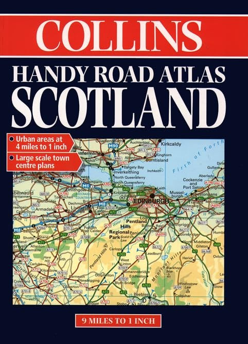
Clear mapping covers the whole of Scotland in a handy format. Included are fully-indexed town plans of Aberdeen, Dundee Edinburgh and Glasgow plus urban area maps to aid route planning. Scale: road maps - 9 miles to 1 inch (1:570,000), urban area maps - 4 miles to 1 inch (1:250,000).| SKU | Unavailable |
| ISBN 13 | 9780004486277 |
| ISBN 10 | 0004486277 |
| Title | Handy Road Atlas |
| Author | Unknown Author |
| Condition | Unavailable |
| Binding Type | Paperback |
| Publisher | HarperCollins Publishers |
| Year published | 1998-01-05 |
| Number of pages | 72 |
| Cover note | Book picture is for illustrative purposes only, actual binding, cover or edition may vary. |
| Note | Unavailable |