


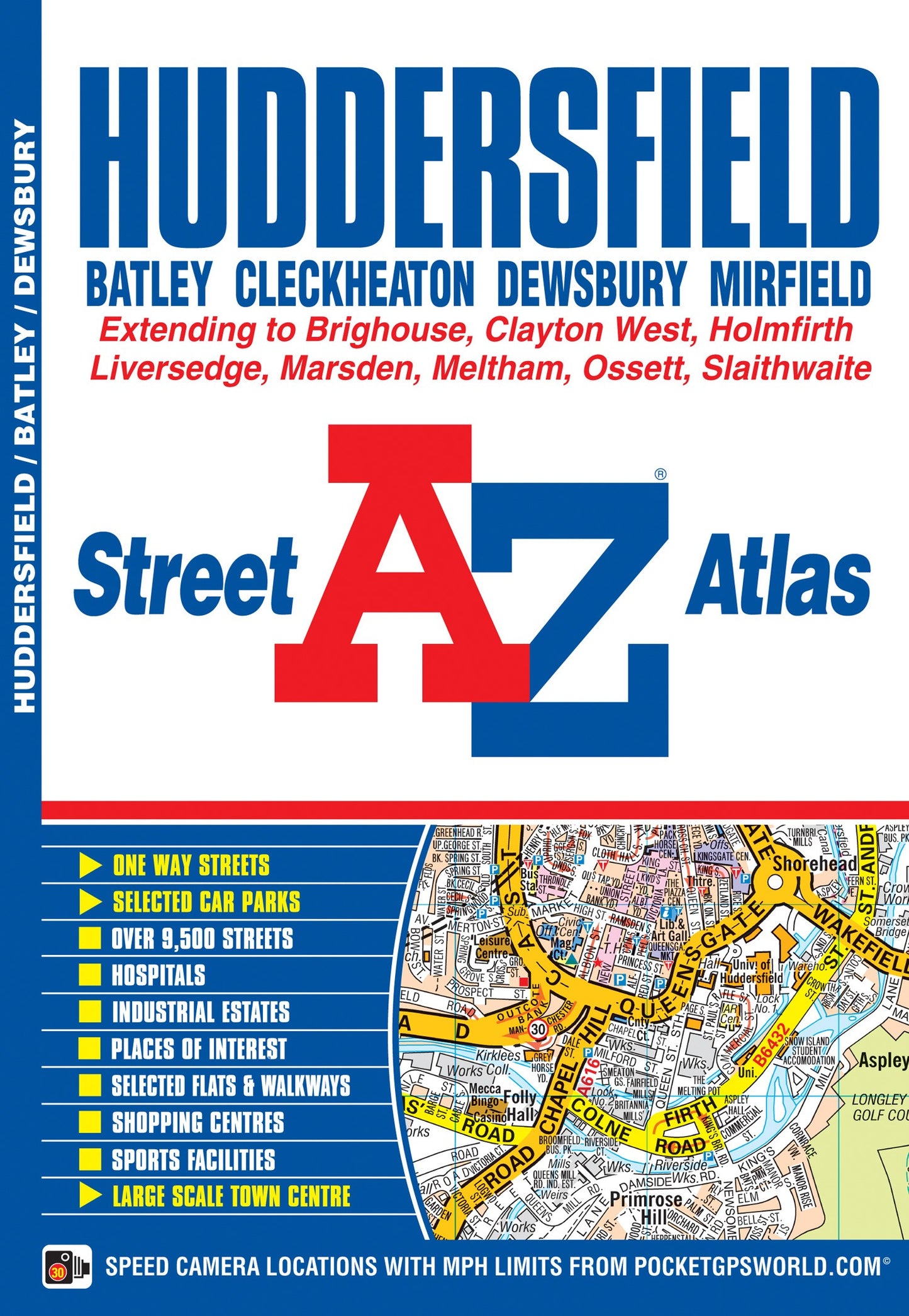
Huddersfield A-Z Street Atlas by A-Z Maps
This atlas of Huddersfield features 65 pages of coloured street mapping and covers an area extending to Cleckheaton, Birstall, Batley, Gawthorpe, Ossett, Thornhill, Emley, Clayton West, Skelmanthorpe, Denby Dale, Scholes, Holmfirth, Netherthong, Meltham, Marsden, Slaithwaite, Stainland, Southowram, Brighouse and Hightown. Also included is a large scale town centre plan of Huddersfield. Post code districts are featured on the street mapping. The index section lists streets, selected flats, walkways and places of interest, place, area and National Rail station names, hospitals and hospices covered by this atlas.Britain’s leading street map publisher providing cartographic services, digital data products and paper mapping publications (including Street Atlases, Visitors Guides, Great Britain Road Atlases and The Adventure Atlas).
| SKU | Unavailable |
| ISBN 13 | 9781843482741 |
| ISBN 10 | 1843482746 |
| Title | Huddersfield A-Z Street Atlas |
| Author | A-Z Maps |
| Condition | Unavailable |
| Binding Type | Paperback |
| Publisher | HarperCollins Publishers |
| Year published | 2015-04-17 |
| Number of pages | 104 |
| Cover note | Book picture is for illustrative purposes only, actual binding, cover or edition may vary. |
| Note | Unavailable |