

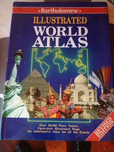
Illustrated World Atlas by John Son
This atlas features Bartholomew's newest mapping of the world. The preliminary material profiles the world, continent by continent, and is illustrated with photographs, national flags, facts and features on places of particular interest plus individual country gazetters which show area, population, capital, languages and currency. In addition to political maps of each continent, there are maps of the natural vegetation and products as well as indications of the current population. This book includes an easy-to-use index of over 30,000 places.| SKU | Unavailable |
| ISBN 13 | 9780702813412 |
| ISBN 10 | 0702813419 |
| Title | Illustrated World Atlas |
| Author | John Bartholomew And Son |
| Condition | Unavailable |
| Binding Type | Hardback |
| Publisher | HarperCollins Publishers |
| Year published | 1992-06-01 |
| Number of pages | 176 |
| Cover note | Book picture is for illustrative purposes only, actual binding, cover or edition may vary. |
| Note | Unavailable |