Ireland Touring Map


Ireland Touring Map
Regular price
Checking stock...
Regular price
Checking stock...
Summary
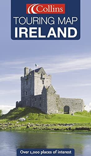
Full colour map with a special emphasis on places of tourist interest in addition to a detailed road network. The shape of the land is shown by use of attractive hillshading. Updated in 2005. Scale: 7.5 miles to 1 inch
The feel-good place to buy books
- Free US shipping over $15
- Buying preloved emits 41% less CO2 than new
- Millions of affordable books
- Give your books a new home - sell them back to us!
Ireland Touring Map by
Full colour map with a special emphasis on places of tourist interest in addition to a detailed road network. The shape of the land is shown by use of attractive hillshading. Updated in 2005. Scale: 7.5 miles to 1 inch MAIN FEATURES • Handy touring scale of 7.5 miles to 1 inch • Over 20 categories of tourist information • Full index to place names and places of interest • Shape of the landscape shown by attractive hillshading INCLUDES • All classified and most minor roads • Railway network and ferry routes • Viewpoints and sandy beaches AREA OF COVERAGE Whole of Ireland at 7.5 miles to 1 inch WHO THE PRODUCT IS OF INTEREST TO Essential for the tourist or holiday maker who requires a route planning map plus tourist features| SKU | Unavailable |
| ISBN 13 | 9780007202218 |
| ISBN 10 | 0007202210 |
| Title | Ireland Touring Map |
| Condition | Unavailable |
| Publisher | HarperCollins Publishers |
| Year published | 2005-01-03 |
| Cover note | Book picture is for illustrative purposes only, actual binding, cover or edition may vary. |
| Note | Unavailable |