Isle of Anglesey Coast Path Map


Summary
The feel-good place to buy books
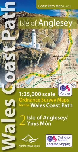
Isle of Anglesey Coast Path Map by Northern Eye Books
Enhanced, large scale (1: 25,000) Ordnance Survey mapping in a handy atlas format with all the mapping you need to walk a complete circuit of the Anglesey section of the Wales Coast Path. Continuous OS mapping covering the complete circuit from Menai Bridge. Contains coastal extracts from large scale Explorer maps 262 and 263. - Large scale Ordnance Survey mapping for the complete circuit of the Isle of Anglesey in a handy atlas format. - Highlighted official route of the Wales Coast Path/ Anglesey Coastal Path. - On-map symbols showing amenities at main towns and villages. - Introduction with attractive photo mosaic. - Additional useful information| SKU | Unavailable |
| ISBN 13 | 9781908632593 |
| ISBN 10 | 1908632593 |
| Title | Isle of Anglesey Coast Path Map |
| Author | Northern Eye Books |
| Condition | Unavailable |
| Binding Type | Pamphlet |
| Publisher | Northern Eye Books |
| Year published | 2019-11-04 |
| Number of pages | 48 |
| Cover note | Book picture is for illustrative purposes only, actual binding, cover or edition may vary. |
| Note | Unavailable |