


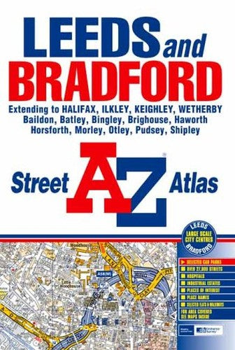
Leeds and Bradford A-Z Street Atlas by Unknown Author
This street atlas of Leeds, Bradford, Halifax, Ilkley, Keighley and Wetherby features 142 pages of coloured mapping and covers an area extending to Silsden, Addingham, Middleton, Askwith, Otley, Pool, East Keswick, Collingham, Sicklinghall, Walton, Clifford, Micklefield, Ledsham, Wheldale, Methley, Ouzlewell Green, Kirkhamgate, Batley, Liversedge, Brighouse, Brackenhall, Elland, Stainland, Ripponden, Mytholmroyd (part), Oxenhope, Haworth, Oakworth and Steeton. Also included are large scale city centre maps of Leeds and Bradford. Featured on the back cover is the Leeds and Bradford Rail Connections map. The index section of the atlas lists streets, selected flats and walkways, place, area and junction names. The hospitals, health centres and hospices covered by this atlas are in a separate index listing.| SKU | Unavailable |
| ISBN 13 | 9781843481003 |
| ISBN 10 | 1843481006 |
| Title | Leeds and Bradford A-Z Street Atlas |
| Author | Unknown Author |
| Condition | Unavailable |
| Binding Type | Paperback |
| Publisher | HarperCollins Publishers |
| Year published | 2003-01-30 |
| Number of pages | 208 |
| Cover note | Book picture is for illustrative purposes only, actual binding, cover or edition may vary. |
| Note | Unavailable |