

London M25 Map by
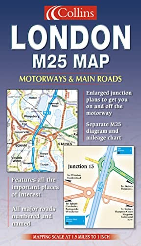
Scale 1:95000. 1.5 miles to 1 inch. The M25 has become the definitive classification of the main London area. The refreshing clarity and detailed 1.5 miles to 1 inch mapping featured in this product, combined with the intricate detail of the M25 motorway itself make this an essential purchase for anyone who drives within this area. MAIN FEATURES Clear, precise motorists’ planning map showing all road classifications with major streets/roads named. The M25 motorway with all junction details is clearly shown, as are services available at junctions. INCLUDES • All motorways, main roads and major streets numbered and named • County boundaries and area names • Diagrams of every M25 junction • Tourist and leisure information • Index to place and street names AREA OF COVERAGE Extends from Maidenhead in the west to Gravesend in the east. From Welwyn Garden City in the north to Horley in the south. Covers the whole M25 Orbital motorway. This is an excellent product for route planning driving and general reference in and around the London area.| SKU | Unavailable |
| ISBN 13 | 9780007128600 |
| ISBN 10 | 0007128606 |
| Title | London M25 Map |
| Condition | Unavailable |
| Binding Type | Sheet map, folded |
| Publisher | HarperCollins Publishers |
| Year published | 2002-04-02 |
| Cover note | Book picture is for illustrative purposes only, actual binding, cover or edition may vary. |
| Note | Unavailable |