


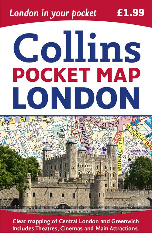
London Pocket Map by Collins Maps
This handy little full color map of central London is filled with a high level of detail and clear mapping from Regent's Park in the north to Kennington in the south, and Kensington Gardens in the west to Tower Bridge in the east at a scale of 1:12,500 (5 inches to 1 mile). Maps of West End shopping and theaters are also included. Clear, detailed, full color mapping is presented in a handy format, ideal for the pocket or handbag. It is excellent value and covers the most visited area of central London. It is an essential buy for tourists and residents alike, and includes a detailed central area map, a theaters and cinemas map, a shopping map, an Underground map, and the latest congestion zone boundary.Explore the world through accurate and up-to-date mapping.
| SKU | Unavailable |
| ISBN 13 | 9780008214173 |
| ISBN 10 | 0008214174 |
| Title | London Pocket Map |
| Author | Collins Maps |
| Condition | Unavailable |
| Publisher | HarperCollins Publishers |
| Year published | 2017-03-09 |
| Cover note | Book picture is for illustrative purposes only, actual binding, cover or edition may vary. |
| Note | Unavailable |