


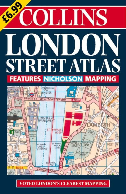
London Street Atlas by Collins Publishers
Central area - 7.68 inches to 1 mile (1:8,250) Outer area - 3.84 inches to 1 mile (1:16,500) Large scale, full colour, street level mapping from the Bartholomew digital database.| SKU | Unavailable |
| ISBN 13 | 9780004489889 |
| ISBN 10 | 0004489888 |
| Title | London Street Atlas |
| Author | Collins Publishers |
| Condition | Unavailable |
| Binding Type | Paperback |
| Publisher | HarperCollins Publishers |
| Year published | 2000-03-06 |
| Number of pages | 368 |
| Cover note | Book picture is for illustrative purposes only, actual binding, cover or edition may vary. |
| Note | Unavailable |