

Manchester A-Z Mini Map by Geographers' A-Z Map Co Ltd
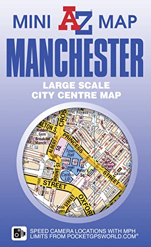
The A-Z Mini Map series is the perfect combination of detailed large scale city or town centre mapping folded into a compact 105mm x 65mm pocket sized cover. This A-Z map of Manchester City Centre is a full colour, double-sided, fold out mini map. Side one features a large scale street map of central Manchester, shown at a clear 6.5 inches to 1 mile (10.36 cm to 1 km), which extends to: *Lower Broughton *Strangeways *Miles Platting *Ardwick *St Georges *Salford The reverse side features: *Large scale street map index listing streets, selected flats, walkways, selected places of interest and hospitals *Reference panel In addition there are location street maps of: *Salford Quays and Manchester United Football Club (Old Trafford) *Manchester Velodrome, Manchester City Football Club (Etihad Stadium), Sportcity A diagrammatic map of Manchester Rail and Metrolink connections is also included. This pocket sized mini map is ideal for visitors, students and residents alike wishing to explore Manchester City Centre.Britain's leading street map publisher providing cartographic services, digital data products and paper mapping publications (including Street Atlases, Visitors Guides, Great Britain Road Atlases and The Adventure Atlas).
| SKU | Unavailable |
| ISBN 13 | 9781782571537 |
| ISBN 10 | 1782571531 |
| Title | Manchester A-Z Mini Map |
| Author | Geographers A-Z Map Co Ltd |
| Condition | Unavailable |
| Binding Type | Sheet map, folded |
| Publisher | HarperCollins Publishers |
| Year published | 2016-12-05 |
| Number of pages | 1 |
| Cover note | Book picture is for illustrative purposes only, actual binding, cover or edition may vary. |
| Note | Unavailable |