

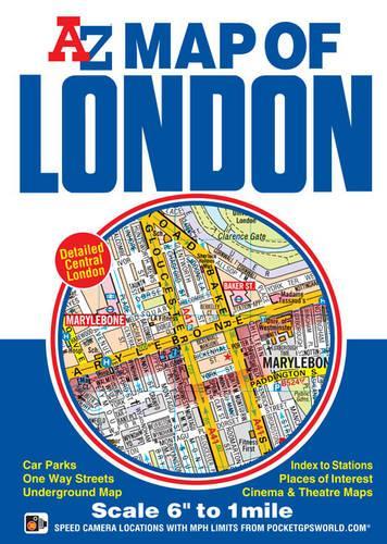
Map of London by Geographers' A-Z Map Company
This A-Z Map of London is a full colour, fold-out street map of central London covering the Congestion Charging Zone and printed at a clear 6 inches to 1 mile (9.47 cm to 1 km) and features postcode districts, one-way streets and safety camera locations with their maximum speed limit.| SKU | Unavailable |
| ISBN 13 | 9781782570134 |
| ISBN 10 | 1782570136 |
| Title | Map of London |
| Author | Geographers' A-Z Map Company |
| Condition | Unavailable |
| Binding Type | Sheet map, folded |
| Publisher | HarperCollins Publishers |
| Year published | 2016-02-24 |
| Number of pages | 2 |
| Cover note | Book picture is for illustrative purposes only, actual binding, cover or edition may vary. |
| Note | Unavailable |