Navigator Atlas North West


Navigator Atlas North West
Regular price
Checking stock...
Regular price
Checking stock...
Summary
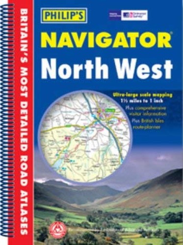
This atlas features large-scale mapping of Cumbria, Lancashire, Merseyside, Greater Manchester, Cheshire, Flintshire, Denbighshire, Gwynedd and beyond. The mapping, at 1.5 miles to 1 inch, covers the road network, including minor country lanes and rural tracks.
The feel-good place to buy books
- Free US shipping over $15
- Buying preloved emits 41% less CO2 than new
- Millions of affordable books
- Give your books a new home - sell them back to us!
Navigator Atlas North West by Unnamed Unnamed
This atlas features large-scale mapping of Cumbria, Lancashire, Merseyside, Greater Manchester, Cheshire, Flintshire, Denbighshire, Gwynedd and beyond. The mapping, at 1.5 miles to 1 inch, covers the road network, including minor country lanes and rural tracks - and even major footpaths - and every junction, roundabout and slip-road is shown in detail. Thousands of individual farms and houses, along with footpaths and tracks, are also included. Airports, airfields, railway stations, ferries, canals and marinas are featured, as well as other sites of interest. The front of the atlas contans a 16-page guide to regional leisure with details of places of interest such as castles,houses, cathedrals and gardens, guides to landscape areas and musuem, and listings of activities form abseiling to yachting. There are also details of services such as tourist information offices and hospitals with casualty departments.| SKU | Unavailable |
| ISBN 13 | 9780540082964 |
| ISBN 10 | 0540082961 |
| Title | Navigator Atlas North West |
| Author | Unnamed Unnamed |
| Condition | Unavailable |
| Binding Type | Paperback |
| Publisher | Octopus Publishing Group |
| Year published | 2003-10-06 |
| Number of pages | 112 |
| Cover note | Book picture is for illustrative purposes only, actual binding, cover or edition may vary. |
| Note | Unavailable |