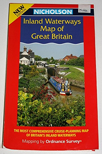
Nicholson Inland Waterways Map of Great Britain


Summary
The feel-good place to buy books
Nicholson Inland Waterways Map of Great Britain by
The map companion to the Nicholson Waterways Guides, covering the entire network of canals, waterways and river navigations in England, Scotland and Wales. The map identifies narrow and broad canals, navigable rivers, tidal river navigations and waterways under restoration. The map shows the position of locks, tunnels, access roads, boat hire bases and waterways related visitor attractions. Other information includes: • Distance markers between all major junctions. • Detailed inset maps of the Norfolk Broads, Birmingham Canal Navigations, the London area, Caledonian, Crinan, Forth & Clyde and Union Canals. • Licensing offices and maximum craft dimensions. Other guides in the series Nicholson Guides to the Waterways 1: London, Grand Union, Oxford & Lee 2: Severn, Avon & Birmingham 3: Birmingham & the Heart of England 4: Four counties & the Welsh Canals 5: North West & the Pennines 6: Nottingham, York and the North East 7: Thames, Wey, Kennet & Avon| SKU | Unavailable |
| ISBN 13 | 9780702841804 |
| ISBN 10 | 0702841803 |
| Title | Nicholson Inland Waterways Map of Great Britain |
| Condition | Unavailable |
| Binding Type | Sheet map, folded |
| Publisher | HarperCollins Publishers |
| Year published | 2000-03-06 |
| Cover note | Book picture is for illustrative purposes only, actual binding, cover or edition may vary. |
| Note | Unavailable |