
Nicholson Inland Waterways Map of Great Britain


Summary
The feel-good place to buy books
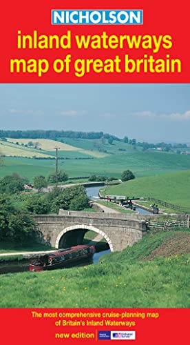
Nicholson Inland Waterways Map of Great Britain by Harpercollins Publishers
The map companion to the Nicholson Waterways Guides, covering the entire network of canal and river navigations in England, Scotland and Wales, including newly restored/opened canals and rivers. The map identifies narrow and broad canals, navigable rivers, tidal river navigations and waterways under construction. An inset map of the Scottish navigations has been enlarged and clearly shows the restored Forth & Clyde and Union Canals. Also: • Contact telephone numbers and dimensions for each waterway. Clear insets of the Birmingham Canal Navigations, Scottish navigations, the Norfolk Broads and the London area.| SKU | Unavailable |
| ISBN 13 | 9780007136728 |
| ISBN 10 | 0007136722 |
| Title | Nicholson Inland Waterways Map of Great Britain |
| Author | Harpercollins Publishers |
| Condition | Unavailable |
| Publisher | HarperCollins Publishers |
| Year published | 2003-03-03 |
| Cover note | Book picture is for illustrative purposes only, actual binding, cover or edition may vary. |
| Note | Unavailable |