

Northern Ireland Road Map by Collins Uk
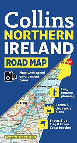
Scale: 4.9 miles to 1 inch 1:310,000. This clear, colourful road map has been fully updated for this edition. Includes tourist information along with a comprehensive range of settlements. There is also a range of town centre plans. Fixed speed cameras are also shown.Collins UK is a renowned publisher of illustrated and narrative nonfiction with a strong focus on knowledge.
| SKU | Unavailable |
| ISBN 13 | 9780007320738 |
| ISBN 10 | 0007320736 |
| Title | Northern Ireland Road Map |
| Author | Collins Uk |
| Condition | Unavailable |
| Publisher | Harpercollins Reference Hbacks |
| Year published | 2010-02-04 |
| Number of pages | 2 |
| Cover note | Book picture is for illustrative purposes only, actual binding, cover or edition may vary. |
| Note | Unavailable |