
Official Glasgow Streetfinder Colour Map


Summary
The feel-good place to buy books
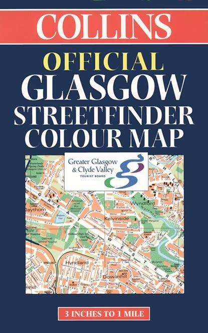
Official Glasgow Streetfinder Colour Map by Harpercollins Publishers
3 inches to 1 mile Full colour street level mapping with index to street names, endorsed by the Greater Glasgow & Clyde Valley Tourist Board. MAIN FEATURES • Officially endorsed street plan • Clear colourful mapping • Large scale central area INCLUDES • Full colour map detail with Key to Symbols in English, French and German • Large scale 6 inches to 1 mile central area • Shows one way streets, pedestrian areas, car parks, station etc. • All important buildings and places of interest AREA OF COVERAGE From Renfrew in the west to Motherwell in the east and from Bearsden in the north to Eastwood in the south. WHO THE PRODUCT IS AIMED AT All visitors, tourist, business people and residents who travel around the city.| SKU | Unavailable |
| ISBN 13 | 9780004490014 |
| ISBN 10 | 0004490010 |
| Title | Official Glasgow Streetfinder Colour Map |
| Author | Harpercollins Publishers |
| Condition | Unavailable |
| Binding Type | Sheet map, folded |
| Publisher | HarperCollins Publishers |
| Year published | 2000-03-06 |
| Cover note | Book picture is for illustrative purposes only, actual binding, cover or edition may vary. |
| Note | Unavailable |