

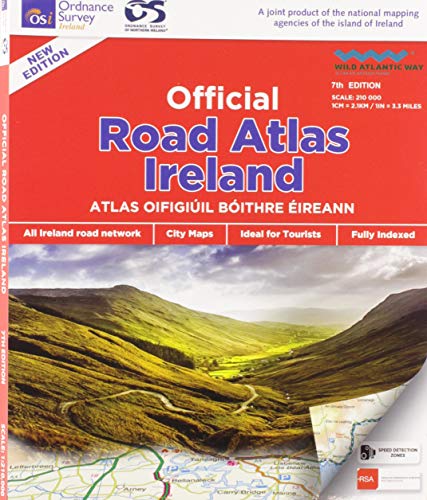
Official Road Atlas Ireland by Ordnance Survey Ireland
This new 7th edition is published in conjunction with Ordnance Survey Northern Ireland and the Road Safety Authority (RSA) and features Collision Zones, Speed Detection Zones and Tolled Roads. (This product is produced with the co-operation of Ordnance Survey Northern Ireland, OSNI).| SKU | Unavailable |
| ISBN 13 | 9781908852830 |
| ISBN 10 | 1908852836 |
| Title | Official Road Atlas Ireland |
| Author | Ordnance Survey Ireland |
| Condition | Unavailable |
| Binding Type | Paperback |
| Publisher | Ordnance Survey |
| Year published | 2018-07-16 |
| Cover note | Book picture is for illustrative purposes only, actual binding, cover or edition may vary. |
| Note | Unavailable |