
Ordnance Survey Greater Manchester Street Atlas


Summary
The feel-good place to buy books
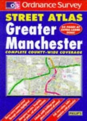
Ordnance Survey Greater Manchester Street Atlas by Philip's
This street atlas includes all rural areas and villages as well as urban districts at a scale of 3.5 inches to 1 mile. Principal routes are colour coded and numbered, and the postcode for every named street is included in the indexes. Hospitals and schools among the amenities indicated.| SKU | Unavailable |
| ISBN 13 | 9780540064854 |
| ISBN 10 | 0540064858 |
| Title | Ordnance Survey Greater Manchester Street Atlas |
| Author | George Philip And Son |
| Condition | Unavailable |
| Binding Type | Hardback |
| Publisher | Octopus Publishing Group |
| Year published | 1997-05-05 |
| Number of pages | 248 |
| Cover note | Book picture is for illustrative purposes only, actual binding, cover or edition may vary. |
| Note | Unavailable |