


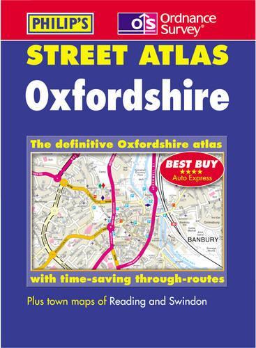
Oxfordshire Street Atlas by Great Britain
A brand-new edition of this successful colour atlas of Oxfordshire, giving the most comprehensive and detailed coverage of the region. No other atlas names every street in Oxfordshire. The mapping is prepared by the Ordnance Survey and gives the user complete coverage of all urban and rural areas. The mapping is at a standard scale of 3 inches to 1 mile (2 inches to 1 mile in the pocket edition) and is complete with postcode boundaries. The atlas is ideally suited for both business and leisure use. There is a route-planning map and an administrative and postcode map at the front of the atlas. The main maps show every named road, street and lane clearly with through-routes highlighted. School locations are marked and emergency services, hospitals, police stations, car parks and rail and bus station locations are all featured. There is a comprehensive index of street names and postcodes that includes schools, industrial estates, hospitals, sports centres, etc, which are highlighted in colour.| SKU | Unavailable |
| ISBN 13 | 9780540081097 |
| ISBN 10 | 0540081094 |
| Title | Oxfordshire Street Atlas |
| Author | Great Britain |
| Condition | Unavailable |
| Binding Type | Paperback |
| Publisher | Octopus Publishing Group |
| Year published | 2002-02-11 |
| Number of pages | 296 |
| Cover note | Book picture is for illustrative purposes only, actual binding, cover or edition may vary. |
| Note | Unavailable |