

Philip's Concise Atlas Britain by Philip's Maps
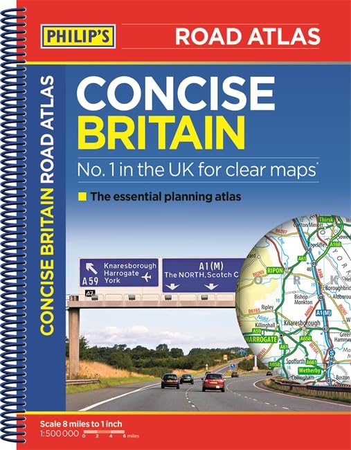
The new edition Philip's Concise Atlas Britain contains 56 pages of road maps covering Britain at 8 miles to 1 inch, with Ireland at 19 miles to 1 inch. The maps clearly mark all motorways, primary roads and A roads, with national parks, areas of outstanding natural beauty and hill shading also included. The atlas includes a distance table, detailed map of counties and unitary authorities, key map and a fully comprehensive 15-page index.| SKU | Unavailable |
| ISBN 13 | 9781849073950 |
| ISBN 10 | 1849073953 |
| Title | Philip's Concise Atlas Britain |
| Author | Philip's Maps |
| Series | Philips Road Atlas |
| Condition | Unavailable |
| Binding Type | Paperback |
| Publisher | Octopus Publishing Group |
| Year published | 2015-11-05 |
| Number of pages | 80 |
| Cover note | Book picture is for illustrative purposes only, actual binding, cover or edition may vary. |
| Note | Unavailable |