

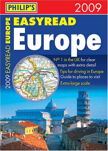
Philip's Easyread Europe by Philip's Maps
A road atlas of Europe, from Lisbon to Moscow, featuring cartography from the Philip's digital database. It contains 23 pages of route-planning maps which enable journeys of over 800 miles to be planned without turning a page. It highlights scenic routes, toll, toll-free and pre-pay motorways.
Philip's publish a wide range of maps and atlases of streets and roads and of the world. They also publish books on astronomy, pocket reference books and encyclopedias. Their titles reach a range of readerships: adults, children, general reference and educational for secondary and tertiary levels.
| SKU | Unavailable |
| ISBN 13 | 9780540092451 |
| ISBN 10 | 0540092452 |
| Title | Philip's Easyread Europe |
| Author | Philip's Maps |
| Series | Road Atlases |
| Condition | Unavailable |
| Binding Type | Paperback |
| Publisher | Octopus Publishing Group |
| Year published | 2008-11-21 |
| Number of pages | 312 |
| Cover note | Book picture is for illustrative purposes only, actual binding, cover or edition may vary. |
| Note | Unavailable |