


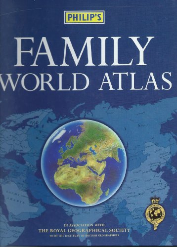
Philip's Family World Atlas by The Royal Geographical Society
This atlas has 48 pages of up-to-date, coloured maps, with town and city names and major transport routes clearly shown, providing a well-balanced coverage of the world. An intoductory section includes statistics on area, population and annual income for each country, as well as a table giving the population of the world's largest cities. The eight-page index provides letter-figure references, to help make the towns, cities and geographical features easier to locate. Countries are digitally-mapped for accuracy and distinctively coloured to aid identification, with the emphasis on nation-states rather than land forms.| SKU | Unavailable |
| ISBN 13 | 9780540076970 |
| ISBN 10 | 054007697X |
| Title | Philip's Family World Atlas |
| Author | The Royal Geographical Society |
| Condition | Unavailable |
| Binding Type | Hardback |
| Publisher | Octopus Publishing Group |
| Year published | 1999-05-10 |
| Number of pages | 64 |
| Cover note | Book picture is for illustrative purposes only, actual binding, cover or edition may vary. |
| Note | Unavailable |