


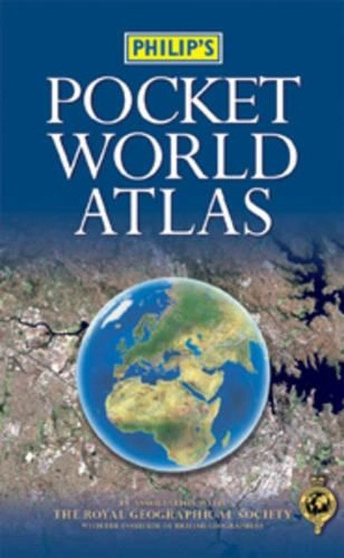
Philip's Pocket World Atlas by Maps Philip's
This Philip's world atlas is ideal for all kinds of travellers. 96 pages of maps are politically-coloured to emphasize countries, towns and cities, as well as major transport routes and administrative boundaries. A thematic section is included with maps, texts and statistics covering topics such as population, time zones, major air routes, climate, wealth and international organizations. A concise country gazetteer gives details of the world's most notable countries, with useful information about currencies, languages and national governments. At the end of the atlas, the 24-page letter-figure index lists all major towns and cities, plus numerous geographical features such as mountains, rivers and lakes.| SKU | Unavailable |
| ISBN 13 | 9780540084173 |
| ISBN 10 | 0540084174 |
| Title | Philip's Pocket World Atlas |
| Author | Maps Philip's |
| Condition | Unavailable |
| Binding Type | Paperback |
| Publisher | Octopus Publishing Group |
| Year published | 2003-05-19 |
| Number of pages | 144 |
| Cover note | Book picture is for illustrative purposes only, actual binding, cover or edition may vary. |
| Note | Unavailable |