Philip's Red Books Penzance and St Ives


Summary
The feel-good place to buy books
Philip's Red Books Penzance and St Ives by Unknown
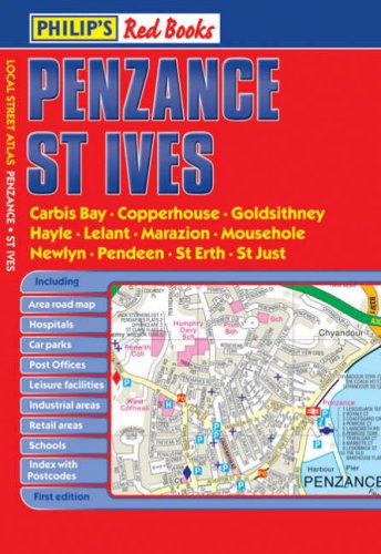
This local street atlas of Penzance and St Ives, and their surrounding towns and villages, gives detailed coverage of the area at scales of 2.25 inches to 1 mile and 4.5 inches to 1 mile.The maps show hospitals, car parks, post offices, leisure facilities, schools, industrial areas and retail areas, while the index lists street names and postcodes. An area road map enables the user to identify through-routes more easily.Pocket sized, and wire stitched so that it opens out flat, the atlas is ideally suited for both business and leisure use, whether by locals or visitors.| SKU | Unavailable |
| ISBN 13 | 9780540093700 |
| ISBN 10 | 054009370X |
| Title | Philip's Red Books Penzance and St Ives |
| Author | Philip's Maps |
| Condition | Unavailable |
| Binding Type | Paperback |
| Publisher | Octopus Publishing Group |
| Year published | 2008-06-02 |
| Number of pages | 40 |
| Cover note | Book picture is for illustrative purposes only, actual binding, cover or edition may vary. |
| Note | Unavailable |