
Philip's Red Books Southern England


Summary
The feel-good place to buy books
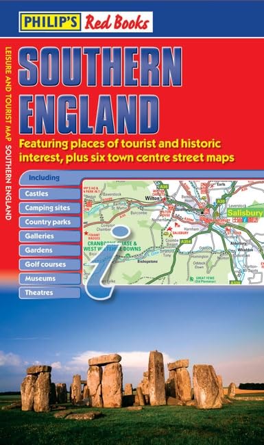
Philip's Red Books Southern England by Philip's Maps
This leisure and tourist map of Southern England gives detailed coverage of the area's road network, ranging from Brighton in the east to Bournemouth and Poole in the west and Swindon in the north, at a scale of 3.16 miles to 1 inch. There is an index to cities, towns and villages on the reverse of the map.The map shows places of tourist and historic interest, including castles, camping sites, country parks, galleries, gardens, golf courses, marinas, museums, nature trails, historic sites, sports venues, theatres, theme parks, wildlife parks and zoos. An index to principal places of interest is featured on the reverse of the map.Indexed town-centre street maps for Bournemouth, Brighton, Chichester, Portsmouth, Salisbury and Southampton at 4 inches to 1 mile are also included.In a convenient folded format, this double-sided sheet map is ideally suited for both leisure and business use, whether by locals or visitors.| SKU | Unavailable |
| ISBN 13 | 9780540094356 |
| ISBN 10 | 0540094358 |
| Title | Philip's Red Books Southern England |
| Author | Philip's Maps |
| Condition | Unavailable |
| Binding Type | Hardback |
| Publisher | Octopus Publishing Group |
| Year published | 2008-07-08 |
| Number of pages | 2 |
| Cover note | Book picture is for illustrative purposes only, actual binding, cover or edition may vary. |
| Note | Unavailable |