

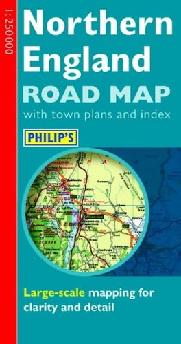
Philip's Regional Road Map by Philips
This map at 4 miles to 1 inch, features coverage of the road network, a route-finding with primary route destinations and tourist information for Northern England. It also encompasses town plans of Newcastle, Sunderland, Durham, Middlesbrough, Kingston-upon-Hull, York, Leeds and Sheffield.| SKU | Unavailable |
| ISBN 13 | 9780540079100 |
| ISBN 10 | 0540079103 |
| Title | Philip's Regional Road Map |
| Author | Philips |
| Condition | Unavailable |
| Binding Type | Sheet map, folded |
| Publisher | Octopus Publishing Group |
| Year published | 2000-06-15 |
| Cover note | Book picture is for illustrative purposes only, actual binding, cover or edition may vary. |
| Note | Unavailable |