Philip's Regional Road Maps Britain


Summary
The feel-good place to buy books
Philip's Regional Road Maps Britain by
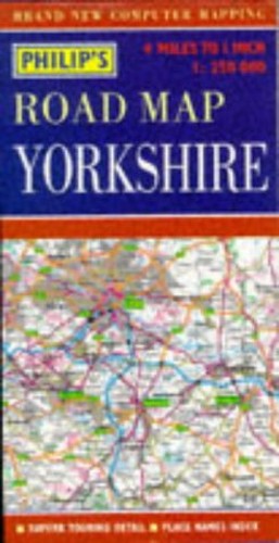
A road map of Yorkshire at a scale of 1:250,000. Motorways and primary routes stand out in bold colours, and primary destinations are highlighted. The network of secondary roads is shown in detail, so that alternative routes can be found easily. Tourist information is included.| SKU | Unavailable |
| ISBN 13 | 9780540063611 |
| ISBN 10 | 0540063614 |
| Title | Philip's Regional Road Maps Britain |
| Series | Philip's Regional Road Maps Of Britain |
| Condition | Unavailable |
| Binding Type | Sheet map, folded |
| Publisher | Octopus Publishing Group |
| Year published | 1996-04-15 |
| Cover note | Book picture is for illustrative purposes only, actual binding, cover or edition may vary. |
| Note | Unavailable |