


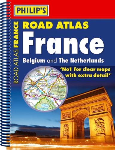
Philip's Road Atlas France by Philip's Maps
The road network of France, Belgium and The Netherlands is shown at a scale of 1:1 million, with ultra-clear detailed mapping for urban areas. Scenic routes are highlighted, and the maps show numerous places to visit including beaches, theme parks, national parks and World Heritage sites.Includes:2 page route-planner;Listings for ski resorts and top visitor attractions.38 pages of clear, detailed road maps, with car ferries and toll, toll-free and pre-pay motorways all clearly marked;Large-scale approach maps for four major cities;City-centre plans marking historic buildings and tourist attractions as well as car parks, head post offices and other facilities in eight major cities.| SKU | Unavailable |
| ISBN 13 | 9781849070522 |
| ISBN 10 | 1849070520 |
| Title | Philip's Road Atlas France |
| Author | Philip's Maps |
| Series | Philips Road Atlas |
| Condition | Unavailable |
| Binding Type | Paperback |
| Publisher | Octopus Publishing Group |
| Year published | 2009-11-02 |
| Number of pages | 64 |
| Cover note | Book picture is for illustrative purposes only, actual binding, cover or edition may vary. |
| Note | Unavailable |