


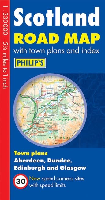
Philip's Scotland Road Map by Philip's Maps
This double-sided Philip's Scotland Road Map is designed for long-distance driving, and is a convenient size for opening out on a table or in a vehicle.Included in this edition are speed camera sites with corresponding speed limits.Scotland is shown at 1:330 000 (5.25 miles to 1 inch), an ideal scale for long-distance driving, with major routes and destinations picked out in bold colours. Town-centre plans are provided for Aberdeen, Dundee, Edinburgh and Glasgow.For holiday planning, the map highlights scenic routes and shows car ferry routes, along with camp sites, national parks and many other places of interest.| SKU | Unavailable |
| ISBN 13 | 9781849072137 |
| ISBN 10 | 1849072132 |
| Title | Philip's Scotland Road Map |
| Author | Philip's Maps |
| Condition | Unavailable |
| Binding Type | Paperback |
| Publisher | Octopus Publishing Group |
| Year published | 2012-02-06 |
| Cover note | Book picture is for illustrative purposes only, actual binding, cover or edition may vary. |
| Note | Unavailable |